
Haltom City ZIP Code Coverage
Official examples confirm 76117 as a standard Haltom City postal use and confirm a 76111 postal-city use. The complete standard ZIP list for every municipal address was not found in one official city source. Use USPS address lookup or Tarrant GIS for an exact address. Nearby ZIPs can surface in owner mailing fields or adjacent postal jurisdictions, so they should not be promoted to confirmed city coverage without address-level evidence.
| ZIP Code | Areas or use shown | Post office evidence | Record note |
|---|---|---|---|
| 76117 | Principal Haltom City postal use observed in official sources | Haltom City Post Office, 5709 Broadway Ave | Confirmed postal use; exact municipal boundary not stated |
| 76111 | South and southwest postal-city use or facility route | Official expanded-access listing for a Haltom City VPO | Confirmed use; complete residential extent not located |
| 76118 | Nearby or mailing-address result | TAD owner or mailing results | Not confirmed as a Haltom municipal ZIP |
| 76136 | Nearby or mailing-address result | TAD search result | Not confirmed as a Haltom municipal ZIP |
| 76137 | Nearby Fort Worth postal use in regional records | TAD search result | Not confirmed as a Haltom municipal ZIP |
That distinction is deliberate. A mailing address may identify where an owner receives correspondence, not where a parcel sits. Keep postal, municipal, appraisal, and map labels in separate notes when they differ.
USPS describes ZIP Codes as delivery geography, not municipal boundaries. A postal city name can be used by addresses outside the city limits, while a parcel inside a city can have a mailing or postal label associated with a nearby community. Tarrant GIS provides a separate ZIP Code layer and City Boundaries layer precisely because the two answer different questions. When a record search depends on place, preserve the full normalized postal address, the parcel address, and the city-boundary result rather than reducing them to one label.
For Haltom City, the documented evidence supports 76117 and a 76111 postal-city use. The research also found 76118, 76136, and 76137 in regional or mailing contexts, but did not establish them as municipal-wide Haltom coverage. That negative finding is useful: an exact address search through USPS and GIS is better than an invented comprehensive ZIP list.
Haltom City ZIP Code 76117
76117 is the main Haltom City postal anchor found in the official research. The USPS Haltom City Post Office is at 5709 Broadway Ave, Haltom City, TX 76117-3325. The listed telephone number is 817-838-8023, and the listed lobby hours are Monday through Friday from 8:30 to 5, with no regular weekend lobby hours stated. USPS lists both PO Box delivery and carrier services, along with service exclusions that should be checked on the current postal record.
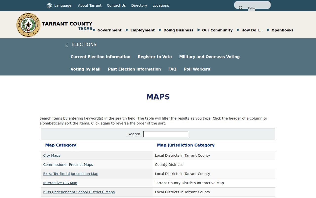
The Tarrant County ZIP and interactive-map resources provide the county mapping route used to compare postal geography with other layers.
A post-office location is a useful local anchor, not the authority for the entire city line. Confirm the specific delivery address before relying on a ZIP code in a parcel or precinct search.
Haltom City ZIP Code 76111
76111 also has official Haltom City postal evidence. USPS's older expanded-access listing identifies a Haltom City VPO at 2830 N Beach St, Suite E/F, Haltom City, TX 76111. A city public-works address also uses Haltom City, TX 76111. These are enough to confirm postal-city use, but they do not establish the full residential extent of 76111 within the modern city.
Keep the evidence level visible in a ZIP code directory. The safe conclusion is that 76111 is a real Haltom postal-city label for particular routes or facilities. It is not a reason to assume that every 76111 address is inside the Haltom City municipal polygon.
Note: Exact address lookup is stronger than a generalized ZIP list when the source does not publish a complete citywide boundary file.
Search Haltom City ZIP Codes With USPS
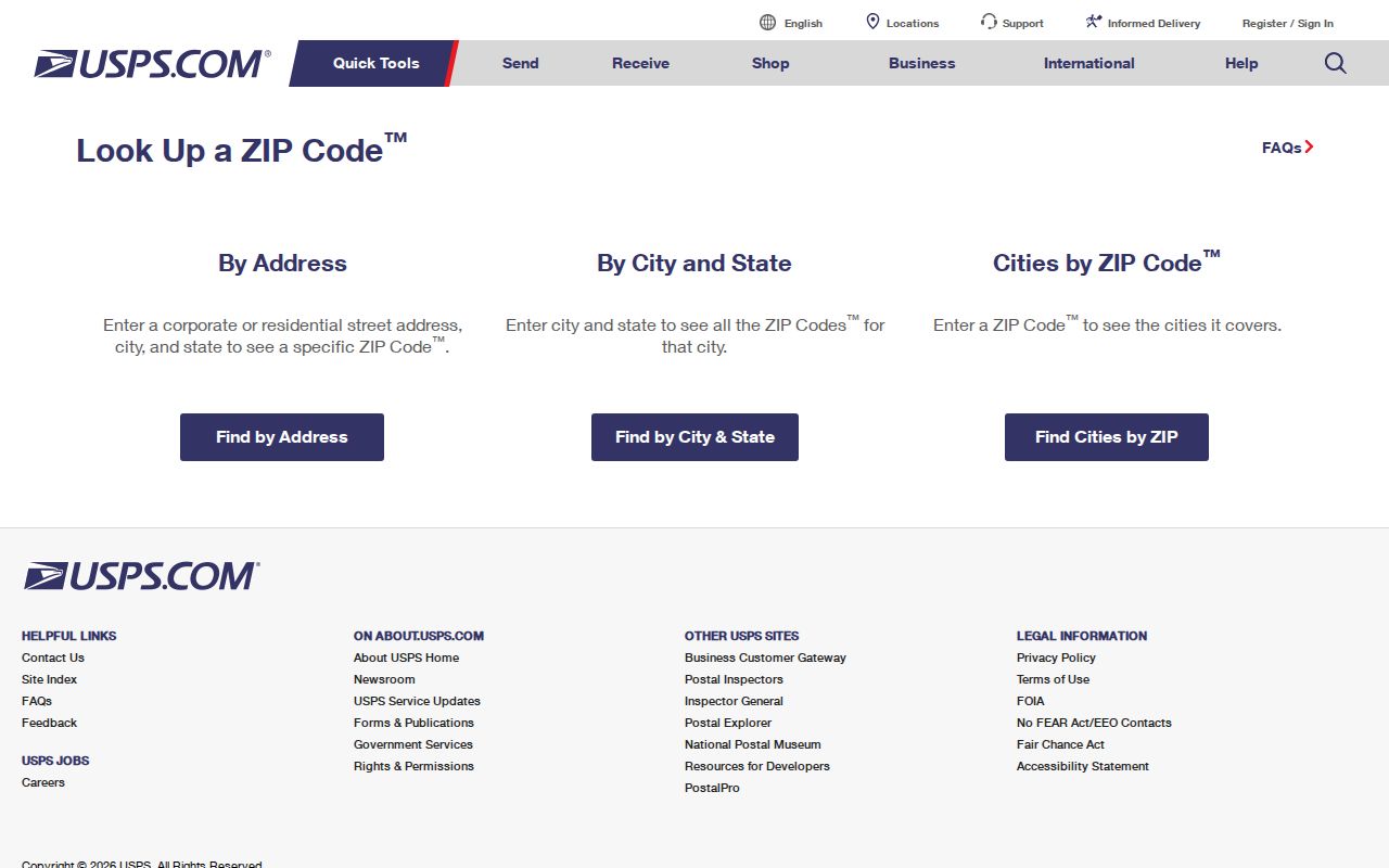
USPS By Address requires a street address and returns a ZIP or a not-found or normalization result. USPS warns that the result does not confirm that a person or company is at the address. That limit matters when a reader is using a ZIP code directory to sort parcel records or a historical street reference. Save the standardized result before comparing it with local map and appraisal fields.
The USPS ZIP Code Lookup provides the official address-to-ZIP tool.
Use the returned ZIP as a delivery field. It does not replace a map check, a parcel account, or an official municipal address assignment.
| By Address | Street address is required; result is a ZIP or a standardized not-found result. |
|---|---|
| By City and State | Enter Haltom City, TX for postal results, then test 76111 and 76117 separately. |
| Cities by ZIP | Enter a ZIP to retrieve postal names, not a municipal-boundary ruling. |
Map Haltom City ZIP Code Lines
Tarrant GIS is the best local comparison tool because it can display ZIP Codes, City Boundaries, Property/TAD Parcels, County Roads, Facilities, voting precincts, schools, and flood layers together. Search by address, account, or owner. Then turn on the ZIP and City Boundaries layers before deciding which label answers the question. A road, precinct, or flood overlay can also explain why a county record groups an address differently from the postal result.
The Tarrant GIS Public Map Viewer supplies those county map layers.
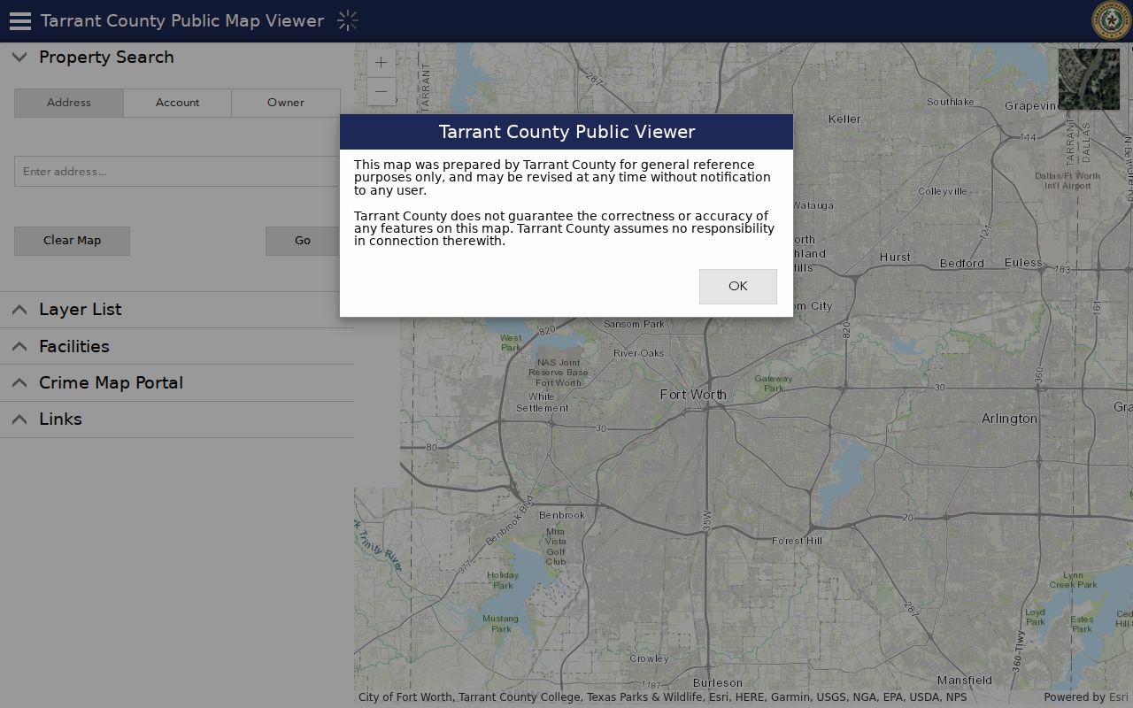
The parcel geometry and city polygon give separate, useful checks on a delivery ZIP. Layer dates and authoritative-boundary status can vary, so preserve the map date and labels with any result.
Use the Roads layer as a second check when a street crosses a municipal or postal edge. Tarrant's map inspection documented County Roads, Facilities, schools, voting precincts, flood contours, and parcel layers alongside ZIP Codes and City Boundaries. Road aliases can matter as well: official local planning material uses names such as SH 121/Airport Freeway, SH 183/NE 28th/Midway, US 377/E Belknap/Denton Highway, and NE Loop 820. Searching a current road name, an older alias, and nearby cross streets can help identify the correct parcel before comparing ZIP labels.
Haltom City ZIP Code Appraisal Fields
Tarrant Appraisal District does not show a dedicated ZIP search category in the inspected tool. Its categories include Property City, Property Address, Owner Address, Owner Name, account number, geo reference, legal description, and subdivision name. Use Property City and Property Address to locate a parcel, then read Owner Address as a separate mailing field. A TAD result with 76118, 76136, or 76137 can therefore be a regional mailing result rather than evidence that the parcel is in that ZIP.
Each appraisal card should be read field by field. Account number, geo reference, subdivision, block, lot, legal description, Property Address, Property City, and Owner Address are different keys. A ZIP code may accompany one of those fields without defining all of them.
- ZIP versus ZIP+4
- A ZIP identifies the main postal area; ZIP+4 adds a more precise delivery segment.
- PO Box ZIP
- A ZIP used for post-office-box delivery, which need not describe a physical parcel.
- Unique ZIP
- A postal code assigned to one organization or delivery arrangement, not a citywide boundary.
- Carrier route
- A delivery sequence used by the postal service; it is not a municipal district.
Haltom City ZIP Code and Precinct
A ZIP code is not an election district. Tarrant Elections provides ZIP, precinct, and representative layers, plus address and precinct tools. The county's 2026 Voter Precinct Change Lookup addresses changes effective January 1, 2026. For a current election question, first verify the address in the county tool, then note the precinct-change date and current district plan. An older voter card may not match current precinct boundaries.
Texas My Voter uses name, county, date of birth, and ZIP for individual lookup. Here, ZIP helps distinguish the search. It does not provide a public browseable roster for everyone assigned to a postal area. Ballot choices remain secret.
Haltom City ZIP Code History
Postal labels and city labels can disagree because Haltom City grew through annexations and has a record trail that reaches back to Birdville. The official history names Garden of Eden, Meadow Oaks, East Ridge, unincorporated Birdville portions, and the 1950 Oak Knoll consolidation. An old directory, deed, or map may use one of those labels even though a current map gives the parcel a Haltom City polygon and USPS uses a postal city.
No official readdressing or renumbering register was located. When an old number fails, compare cross streets, subdivision, block and lot, the 2009 thoroughfare map, Sanborn footprints, directory editions, and the deed's legal description. Preserve the historical label in a transcription and add the current ZIP or city label only as a clarifying note.
Find Haltom City ZIP Code Records
The most reliable ZIP code directory workflow compares three official systems. USPS answers delivery normalization. GIS answers the visible relationship between a point, the ZIP layer, and the city boundary. TAD identifies parcel and appraisal fields. When the three disagree, retain all three values and label each by purpose rather than forcing one to replace the others.
- Enter the exact standardized street address in USPS By Address and save the returned city, state, and ZIP.
- Enter the same address in Tarrant GIS, then turn on ZIP Codes, City Boundaries, parcels, and County Roads.
- Open the TAD record and compare Property Address, Property City, Owner Address, account number, and geo reference.
- Use the city planning or inspections route for a disputed municipal address field, then preserve the custodian's response date.
- After a ZIP narrows the search, use the Haltom City street directory for the address-keyed records path.
Haltom Planning can address city-address questions through its planning, permits, inspections, zoning, and certificate-of-occupancy role. The exact E911 or address-assignment office was not located. City Planning is listed at 817-222-7757 and Inspections at 817-222-7730, so ask which agency owns the authoritative field for a new or disputed address.