
Haltom City Neighbors by Block Source
A block lookup starts with a target parcel and its immediate physical relationships. Official sources can show parcel geometry, an owner role, a recorded plat, or a public civic contact. They do not produce a complete household roster. Treat a person listed on a property card as the displayed owner, and preserve the difference between the parcel's physical address and an owner mailing address.
| Source | What it shows about a block | Access |
|---|---|---|
| Tarrant GIS parcels | Parcel boundaries, account relationships, road, city, ZIP, precinct, school, and flood overlays | Public viewer; click adjacent parcels |
| TAD property cards | Owner, mailing field, legal description, values, exemptions for a selected parcel | Public search by account, address, name, or other category |
| County Clerk plats and deeds | Lot and block layout, easements, recorded parties, and instrument history | Official-records portal or clerk/archive request |
| City code and permit routes | Address, event date, zoning, category, or construction-file lead | Archive and Planning/Inspections routes; historic fields not stated |
| City-listed civic organizations | Public contact route for local group activity | Volunteer Organizations page; no member roster |
The owner information on a parcel card is useful for identifying a property record, but it does not establish who occupies a home. Neighbors can also be separated by a public right-of-way, postal boundary, or city boundary. The map context makes that visible.
Map a Haltom City Block First
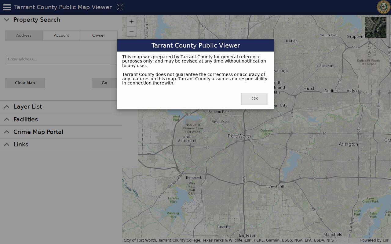
Tarrant County GIS supports Address, Account, and Owner modes, along with a Layer List for Property/TAD Parcels, City Boundaries, County Roads, ZIP Codes, Voting Precincts, schools, facilities, and flood contours. The inspected sources did not document a radius, buffer, or bulk-export feature. Centering the target address and reviewing the immediate parcel geometry is the supported, auditable method for locating potential neighbors.
- Enter the target address in GIS Address mode and turn on Property/TAD Parcels, County Roads, City Boundaries, and ZIP Codes.
- Mark each parcel sharing a lot line or lying across a public street, noting direction and whether a right-of-way separates it.
- Save the adjacent account and legal description before opening the matching TAD card.
- Copy the owner field, mailing field, property address, legal description, source date, and boundary context exactly as displayed.
- Stop when the next clue is a private household member, protected address, utility record, or unverified same-name match.
The Tarrant County GIS Public Map Viewer capture below is the official geographic tool for this parcel-first method.
For a full named-street record trail, use the Haltom City street directory. A neighbors search should remain focused on the immediate block rather than expanding to a streetwide list.
Separate Haltom City Owners and Neighbors
TAD has separate Property Address and Owner Address categories. The first describes the physical parcel. The second may be the appraisal notice address and can be outside the city. A primary owner may be a person, several people, or an entity. A homestead or exemption field can be a clue in a parcel record, but it is not a household roster. Treat the source as a property record, not a census.
- Adjacent parcel
- A parcel sharing a lot line with the target parcel or facing it across a public right-of-way. It is a geographic relationship, not proof of personal contact.
- Legal description
- The subdivision, block, lot, or other wording used to identify land in an appraisal or recorded document.
- Owner mailing address
- The address used for notices. It should never be relabeled as the location of a person without independent evidence.
County Clerk plats can show subdivision, lot and block, road dedication, and easement layout. Deeds may supply grantor and grantee history. Neither source alone identifies every neighbor who lives near the parcel.
A useful block worksheet contains the target address, target account, adjacent side or direction, adjacent account, property address, owner name as displayed, mailing field as displayed, legal description, ZIP and city-boundary context, source date, and whether a public right-of-way separates the parcels. It should also carry a stop note for protected addresses, private household members, utility customers, and unverified same-name results. This format preserves the map relationship without creating a private-person list.
Find Haltom City Civic Contacts
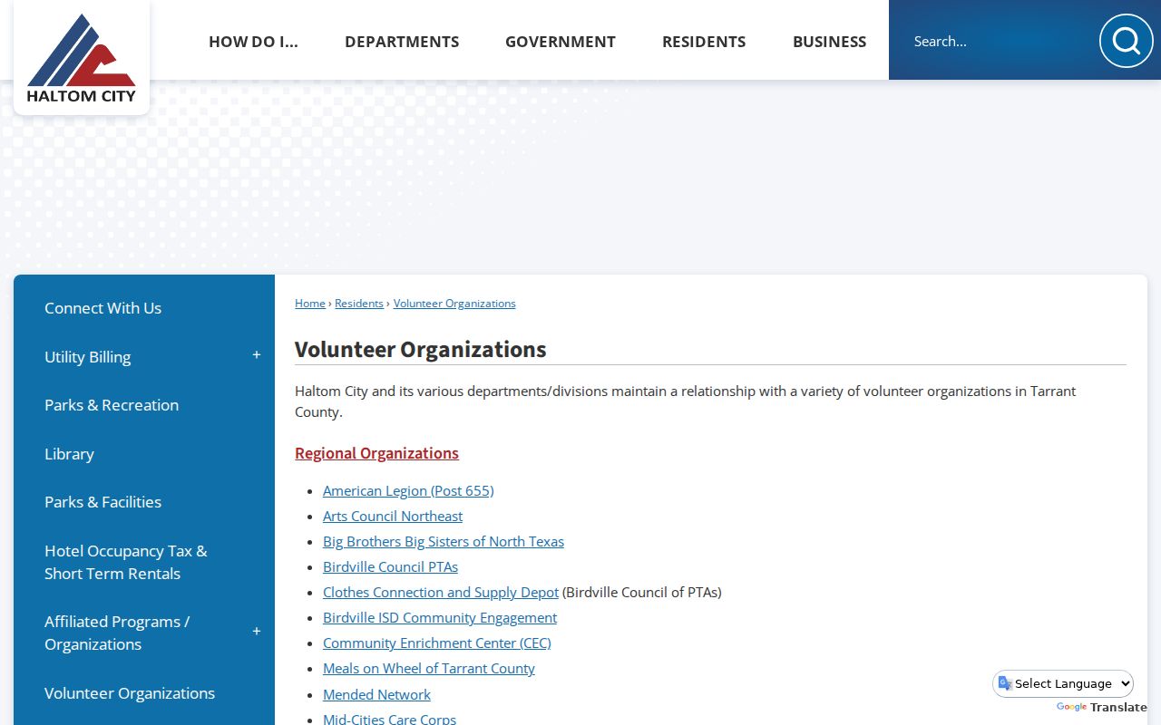
Public community contact is different from an address-based lookup. Haltom City's Volunteer Organizations page identifies a Neighborhood Crime Watch Association, Citizens Police Academy Alumni Association, Friends of Haltom City Library, and sports and recreation groups. The city lists a contact route through Dusty Simmons at 817-222-7036 or the library. The official page does not publish a resident directory, a complete association inventory, or a public member roster.
| Organization or route | Official evidence | Publicly supported use |
|---|---|---|
| Neighborhood Crime Watch Association | City Volunteer Organizations listing | Use the city contact route for current public information; do not infer a member from an address. |
| Citizens Police Academy Alumni Association | City Volunteer Organizations listing | Public civic contact route; member directory not located. |
| Friends of Haltom City Library | City Volunteer Organizations listing | Ask the city or library about current contact details. |
| Independent associations and HOAs | No complete official city inventory located | Names, boundaries, joining rules, and rosters remain a research gap. |
The Haltom City Volunteer Organizations page is shown in the capture below. It is a contact doorway, not a directory of private households.
First-party contact routes are the appropriate path for any group. Do not assume a congregation, block-watch group, or association affiliation from a parcel location.
Compare Neighbor Lookup Categories
Official property and map records preserve custodian, record date, parcel field, and geographic limits. Commercial neighbor-lookup categories can combine public and nonpublic data from changing sources, but the research did not identify a local official opt-out path or authorize linking to those services. For a careful result, a source that names its field is stronger than a compilation without an inspectable record role.
| Official records route | Commercial lookup category | Safer interpretation |
|---|---|---|
| Parcel card, GIS layer, clerk index, or city file with a named custodian | Compiled neighbor-search result | Use the official field and access date; treat a compilation as an unverified lead. |
| One-person voter or precinct tool under statutory rules | Broad address-based name list | Do not enumerate nearby voters. Protected addresses and redactions are expected. |
| City civic contact route | Claimed group-member listing | Ask the first-party organization rather than publishing an affiliation claim. |
Check Haltom City Neighbor Boundaries
A parcel across a street can carry a different postal or municipal context. ZIP geography is postal geography, not a city-boundary map. Official examples confirm 76117 and a 76111 postal-city use for Haltom City, but complete municipal coverage was not located. Turn on both ZIP Codes and City Boundaries in GIS, then compare the physical address with the TAD Property City field and a USPS address result.
Voting precincts, school districts, flood layers, roads, and facilities can add useful block context, but none proves a person's presence. Current boundaries can change while the parcel remains in place. Save the source date and do not republish sensitive fields from an address result.
Historic block work needs another check. Tarrant Archives' Sanborn Volume 7 includes Haltom City and nearby Richland Hills, with a 1949 key, 1950 index, and later corrections from 1956 and 1958. A map can compare a building footprint, lot pattern, street orientation, and nearby structures across time. It does not name neighbors. Use it to test address continuity after a parcel relationship is already documented.
Haltom City Neighbor Privacy Limits
Texas voter tools are not a block directory. The Secretary of State's My Voter Portal uses name, county, date of birth, and ZIP for an individual lookup. Tarrant's address and precinct tools describe current geography. SSNs, driver-license or DPS-ID numbers, and telephone numbers are confidential in voter-registration records. Address-confidentiality participants may be absent from ordinary public tools, so a no-result must never be read as proof that a person did not live nearby.
The Texas Address Confidentiality Program provides a substitute address for eligible survivors of family violence, sexual assault, trafficking, stalking, or child abduction. Utility customer and private delivery data are not public address indexes. Request only the least sensitive official field that answers a lawful question.
When an official result seems wrong, contact the custodian that owns the field. TAD handles appraisal-account corrections, the County Clerk handles recording or index issues, Elections handles registration information, and the city routes municipal-record questions. Preserve the original result, source date, and exact field label. A correction request is different from deleting a lawful historical record.
Use Haltom City Neighbor Records Lawfully
A neighbor lookup can support personal records research, community connection, or a better understanding of the block's parcel layout. It should not become a dossier on private people. Label every result with its custodian, source date, field, and limitation. If an appraisal, deed, directory, or map does not support a conclusion, retain it as a lead rather than adding a name to a neighbor list.
Lawful use. Do not use Haltom City neighbor records to watch, threaten, harass, intimidate, or harm anyone. Texas Penal Code sections 42.07 and 42.072 address harassment and stalking. Protected residents and private household members should never be targeted or republished.