
Trace a Haltom City Street by Address
A whole-street search works best as a chain, not as a flat name list. Tarrant Appraisal District, usually called TAD, is the current property starting point. Its Property Address, Property City, Owner Name, Owner Address, Account Number, Geo Reference, Legal Description, and Subdivision Name modes help establish the parcel key. The physical property address is often called the situs address. It is not the same field as the primary owner address, which is where appraisal notices are sent. Keep both labels with each result.
- Search a known house number and street in TAD, then save the account number, geo reference, legal description, subdivision, and owner fields exactly as displayed.
- Open the same location in the county GIS viewer and turn on Property/TAD Parcels, County Roads, City Boundaries, ZIP Codes, and Voting Precinct layers.
- Use the parcel location and account to check nearby numbered addresses. TAD has no documented whole-street browse control, so an address seed and map browsing are the supported method.
- Carry the legal description, owner name, or subdivision to the County Clerk's official-records index for recorded instruments.
- For an older interval, request regional reverse directories or compare a dated directory with maps and the deed trail.
Each step answers a narrower question. A parcel card identifies an appraisal record. A deed records an instrument. A directory gives an address-at-publication lead. Those distinctions prevent a street search from overstating what a record actually proves.
Haltom City Street Records Compared
Address-keyed sources overlap, but they do not duplicate one another. The table keeps the record role visible while a Haltom City street directory search moves from a street address to a parcel and then to a dated document.
| Record source | Custodian | Street-level evidence | Access notes |
|---|---|---|---|
| TAD property card | Tarrant Appraisal District | Current owner, property and mailing fields, legal description, account, values, and exemptions | Public search; historical online start year not stated |
| Parcel map | Tarrant County GIS | Parcel geometry with road, city, ZIP, precinct, school, and flood context | Public viewer; layers are context, not every legal boundary |
| Recorded instruments | Tarrant County Clerk | Deeds, plats, liens, releases, easements, and indexed parties | Portal start year not stated; copies are available by county methods |
| City files | Haltom Planning and city archive | Permit, certificate-of-occupancy, inspection, or code-event leads | Historic field coverage was not published |
| Directories and maps | Archives and regional libraries | Dated address or building-context leads | Exact Haltom reverse-directory run not located |
Use the account number or geo reference as the repeatable parcel key. Street spelling is less stable. A plat is a recorded plan showing lots, blocks, roads, or easements. It can connect a street to a legal description, but it does not identify a household.
Search Haltom City Addresses in TAD
TAD accepts more than a street address. The inspected search options include Account Number, Geo Reference, Legal Description, Owner Name, Owner Address, Property Address, Property City, Site Number, and Subdivision Name. Results display the account number, geo reference, property address, property city, primary owner name, and market value. Begin with the physical address or account when possible. A broad owner-name search can mix similarly named people and parcels in different places.
| Property Address | The physical parcel location, useful for centering a street search. |
|---|---|
| Primary Owner Address | The notice or mailing address. It may be outside Haltom City. |
| Account and geo reference | Separate parcel identifiers worth saving before opening another record. |
| Legal description | The subdivision, block, lot, or other wording that can bridge an address to a deed or plat. |
An exemption indicator can be a useful clue, but it is not an occupant list. TAD also withholds some age-65 exemption information from unauthorized viewers. Preserve the source date and the exact field label rather than converting an appraisal entry into a claim about a current household.
Read Haltom City Streets in GIS
The county's GIS viewer is the spatial half of a Haltom City street directory search. Its Address, Account, and Owner modes can center a parcel. The Layer List can add city boundaries, county roads, Property/TAD Parcels, ZIP Codes, voting precincts, schools, school districts, facilities, and flood contours. With those layers together, a street segment can be read as a relationship among parcels rather than a string of loosely matched addresses.
The Tarrant County GIS Public Map Viewer capture below shows the county tool used to compare parcel and geographic layers.
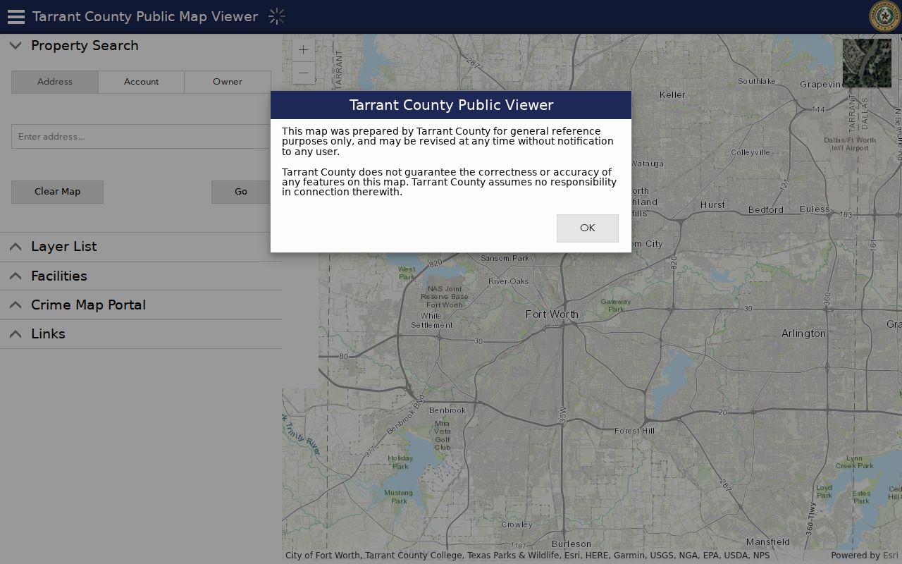
Use the map to inspect a street segment visually, then open a selected parcel's appraisal record. A road may meet a different city polygon or postal area at the edge of a block. For that reason, the map is stronger evidence than a postal city label alone.
Carry a Street Parcel Into Deeds
The County Clerk's official-records portal is not a street directory. Its current Real Property search supports grantor or grantee, subdivision, document type, document number, date range, and a choice of index-only or index-and-full-text searching. A street query can fail when the index relies on a party name or legal description. Start with the TAD legal description, then test the subdivision, block and lot, current owner, and instrument reference.
The Tarrant County Clerk real-property search provides the interface shown here for grantor, grantee, document-type, and date research.
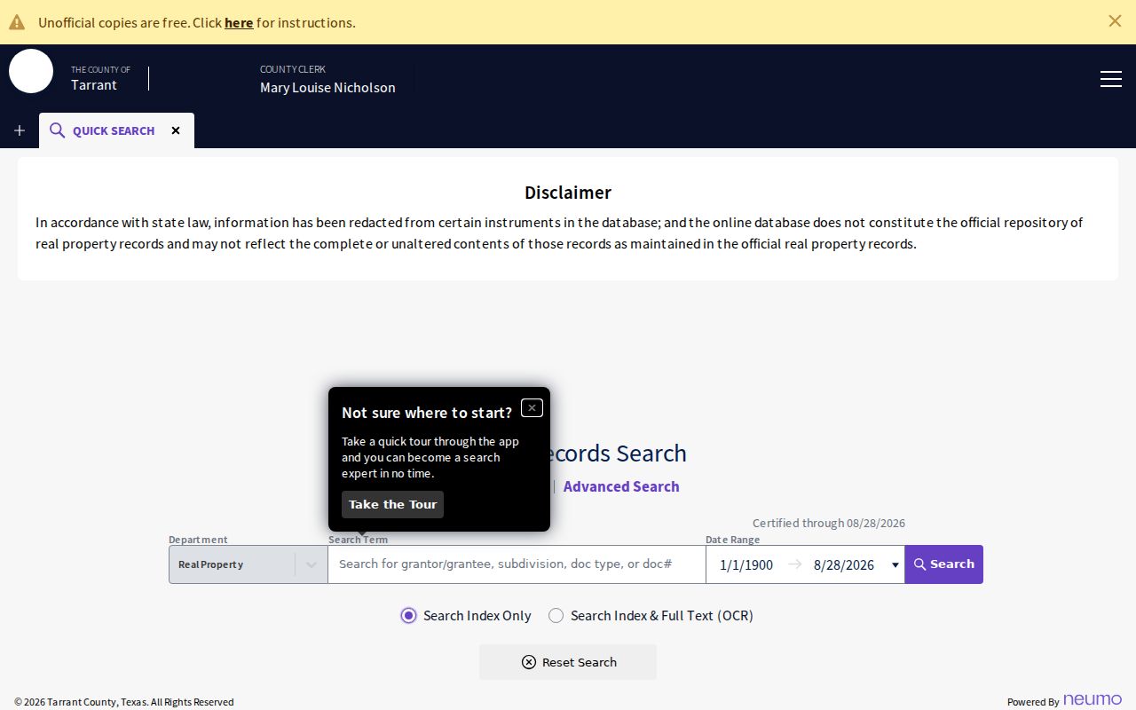
Read document type before treating a result as a transfer. A deed conveys an interest. A deed of trust is financing evidence. A release clears or changes a lien record. A plat establishes a mapped layout. The portal does not state a complete online back-year, so an old no-result is a coverage question, not proof that nothing was recorded.
Compare Haltom City ZIP and Boundary Layers
Postal geography and city geography can differ along the same road. Official examples confirm 76117 as a standard Haltom City postal use and show a 76111 postal-city use, but a complete municipal ZIP boundary file was not located. Nearby ZIPs can also appear in owner mailing addresses. Use USPS address normalization, the GIS ZIP and City Boundaries layers, and TAD's Property Address, Property City, and Owner Address fields as three separate checks.
If the results differ, preserve all three labels. USPS answers delivery format. The city polygon answers municipal location. TAD distinguishes the parcel location from the notice recipient. This makes a street result easier to audit when an address lies near Haltom City, Fort Worth, Richland Hills, North Richland Hills, or Watauga.
Do not use a ZIP as a shortcut for jurisdiction. The County Clerk records by county, while city files, appraisal fields, postal labels, and election geography can follow different boundaries. A street address is most reliable when each source is described for the question it actually answers.
Find Haltom City Address Events
Planning and Inspections publishes routes for building, demolition, electrical, mechanical, plumbing, irrigation, roofing, sign, contractor-registration, and certificate-of-occupancy matters. The reliable request describes the address, permit type, approximate date, and parcel or legal description, then asks whether plans, inspections, applicant information, final approval, or attachments exist and what is releasable. A complete historic permit index and field list were not located.
Monthly city code reports provide a more regular address lead. They can show a case address, start date, zoning district, and category. That can direct a reader to the right municipal file, but it is not a household record and does not establish fault by a named person. Keep a case's status terms exactly as the city reports them.
When a municipal record is needed, make the request narrow. Give the physical address, approximate date, permit or case type, and the parcel or legal description when known. Ask for the source document and its status instead of asking for a broad set of names. A permit applicant, contractor, owner, and mailing recipient can be different people or entities. Those roles should stay distinct in notes about a Haltom City street.
Trace Older Haltom City Streets
Older location research is regional. The Haltom Public Library points researchers to Tarrant County Archives, Fort Worth collections, TSLAC, UNT, HeritageQuest, FamilySearch, and Sanborn maps, but an official year-by-year Haltom directory run or reverse directory was not located. The Fort Worth History Center reports substantial census and city-directory microfilm holdings. Request the specific title and year, and record the page and the directory's abbreviation key before relying on an entry.
A criss-cross directory is arranged by address rather than alphabetically. It can supply a dated address lead when it is available, but omissions, unlisted numbers, renumbering, and changed city labels all matter. Compare old street names with cross streets, subdivision data, Sanborn footprints, and nearby entries. Historic records may use Birdville, Haltom Village, Oak Knoll, Fort Worth, or another neighboring label rather than the modern city name.
Check Haltom City Street Voter Limits
Texas voter tools can help verify an individual current lookup result, but they are not a street directory. The Texas Secretary of State My Voter Portal uses name, county, date of birth, and ZIP as lookup inputs. Tarrant County's address and precinct tools can identify current election geography. Do not turn either tool into a list of people along a road. A missing result can reflect spelling, current-tool scope, a protected address, or another restriction.
The Texas My Voter Portal capture below shows the state lookup entry point referenced for individual voter checks.
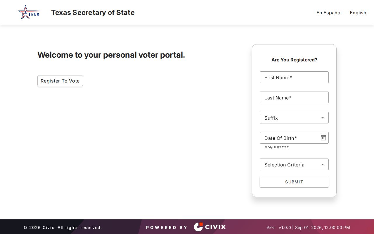
Texas protects SSNs, driver-license or DPS-ID numbers, and telephone numbers in voter-registration records. Protected-address and Address Confidentiality Program participants may not appear at a real address in an ordinary public search. Preserve a result as “not found in the public tool” rather than claiming that a person was not registered or did not live on the street.
Haltom City Street Search Limits
Public records do not create a complete resident roll. Private household members, utility customers, delivery records, protected voters, and confidential-address participants are not a street-search result. Texas voter tools are an individual lookup or a separately regulated statutory-list request, not a method for compiling a block. A public search that returns no name should be described only as a result not found in that tool.
Lawful use. Haltom City address research is appropriate for personal records work, family history, and understanding a property trail. Do not use records to monitor, threaten, harass, or intimidate anyone. Texas Penal Code sections 42.07 and 42.072 address harassment and stalking.
The historical trail also has real gaps. Birdville-era loose papers were damaged or lost in the March 29, 1876 courthouse fire. The best record may be a later index, a certified copy, a ledger, or no surviving item at all. Mark that uncertainty instead of filling it with a same-name match.
Watch for ordinary search errors as well. A street suffix can be abbreviated, an address may have been renumbered, and an old record may use a neighboring place name. The research did not locate an official year-specific renumbering register. Compare the legal description, subdivision, cross streets, Sanborn footprint, and adjacent lots before deciding that two address labels identify the same place. That is especially important near earlier Birdville and annexation-era geography.